If you are deciding between salt‑spray mornings by the ocean, coffee and errands on Main Street, or glassy sunset paddles on the bay, a few blocks in Amagansett can change your day. Choosing the right pocket is about more than price. It is about matching your lifestyle to the rhythms of the neighborhood. In this guide, you will compare the ocean Lanes, the Village core, the bay and harbor corridors, and the Napeague stretch so you can choose with confidence. Let’s dive in.
How Amagansett is laid out
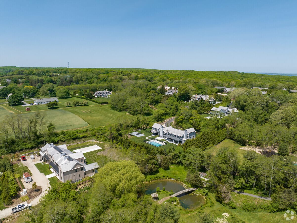
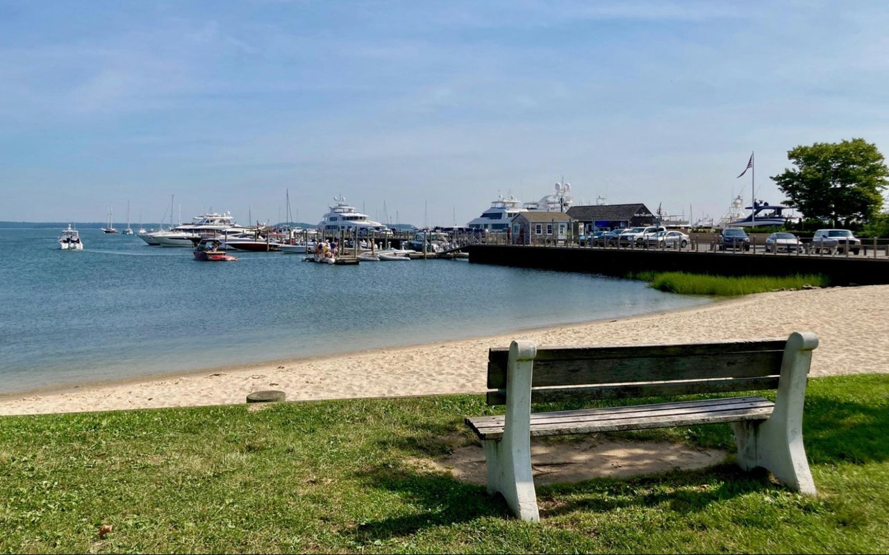
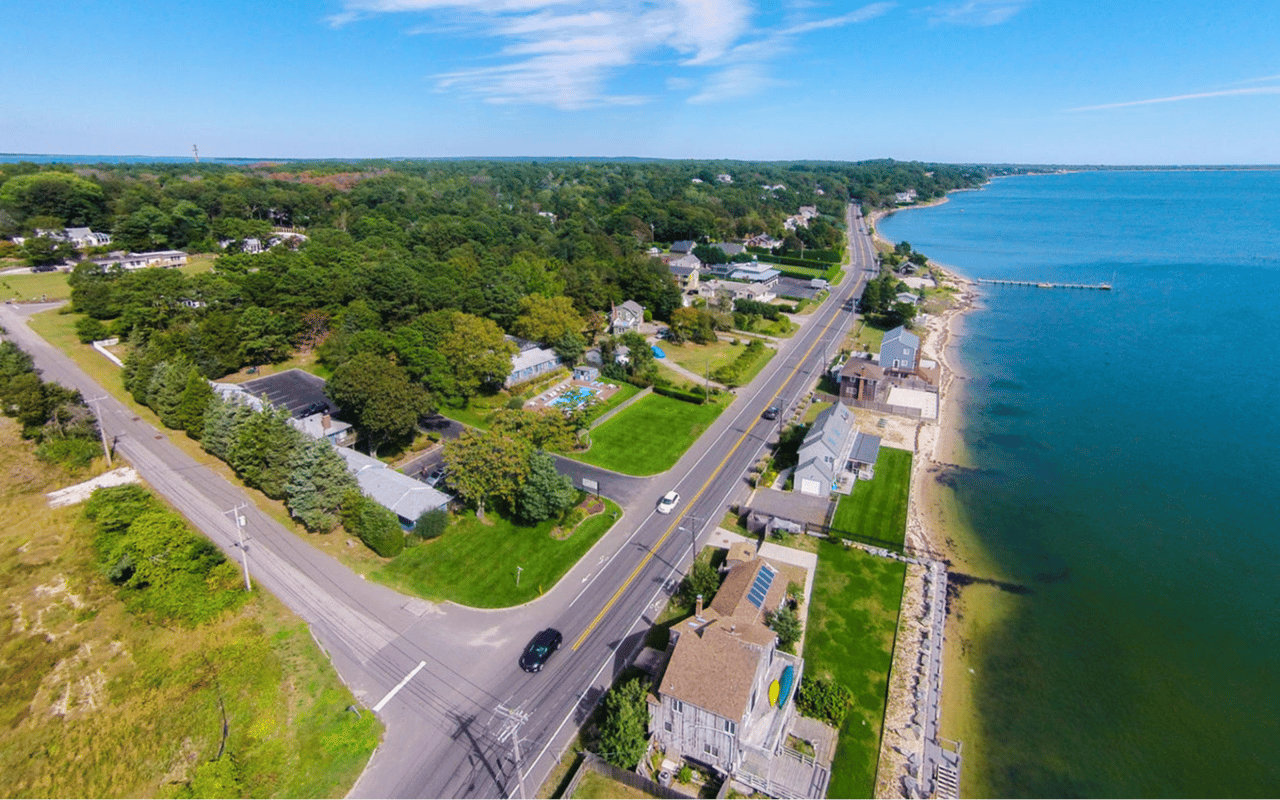
Amagansett sits between the Atlantic Ocean to the south and Gardiners and Napeague Bays to the north. The Montauk Highway runs east to west through the hamlet and acts as the main connector. The Long Island Rail Road’s Montauk Branch stops right in Amagansett, which makes weekend arrivals and weekday commutes easier for many buyers. You can review the branch overview and schedules on the LIRR Montauk Branch page. Private coaches and the Hampton Jitney also operate routes that serve the hamlet, especially in peak season.
Public and protected lands shape daily life here. Town beaches, a national wildlife refuge, and nearby state parklands protect dunes and open space. That preservation is part of the appeal and also part of what guides how and where homes can be built or expanded.
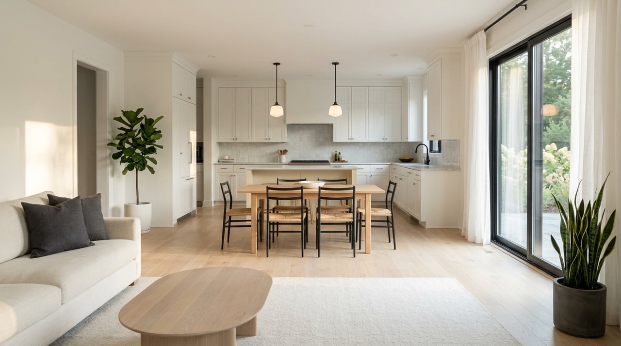
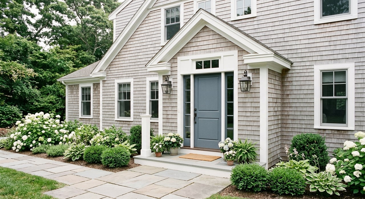
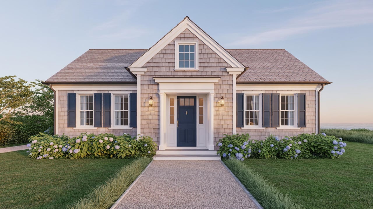
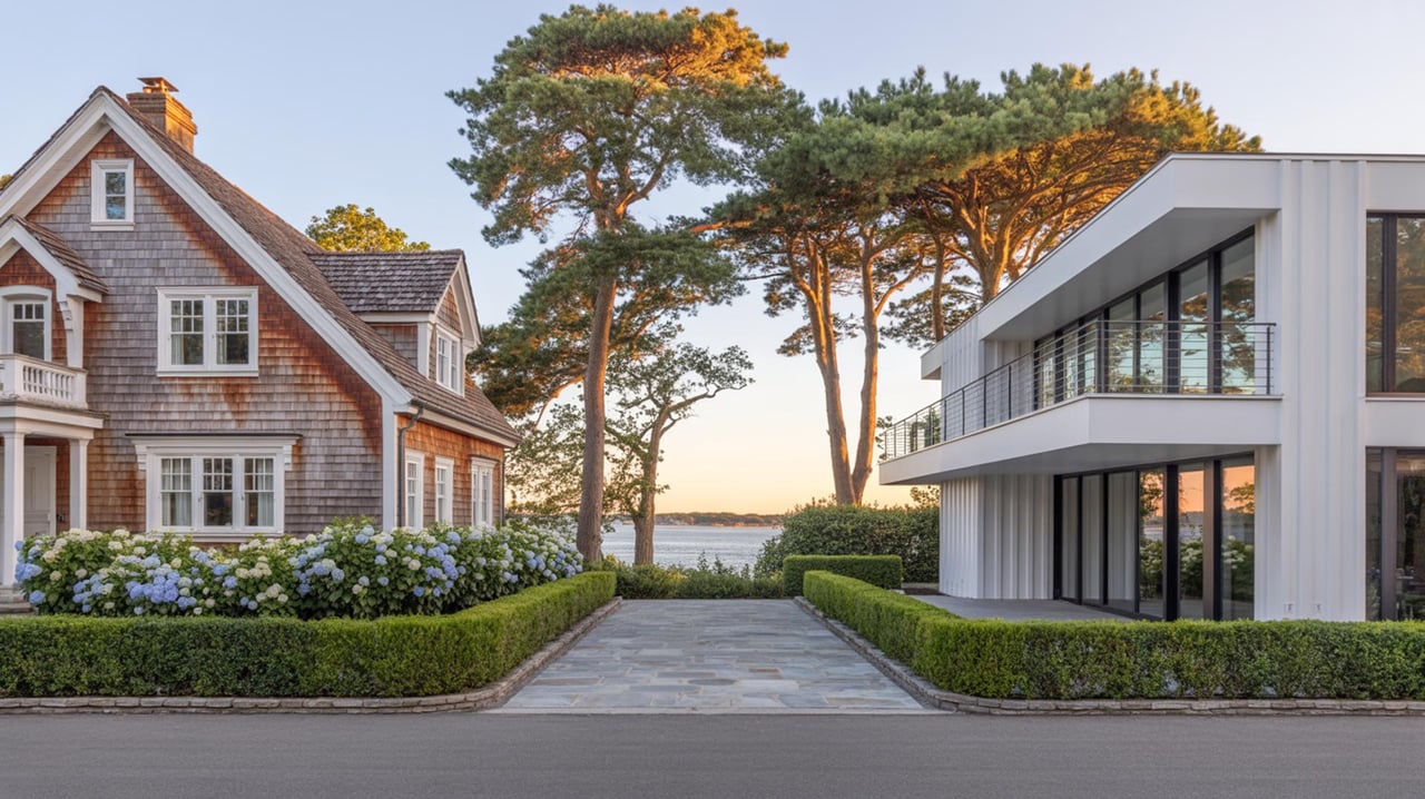
Amagansett Village: Main Street living
Daily rhythm and access
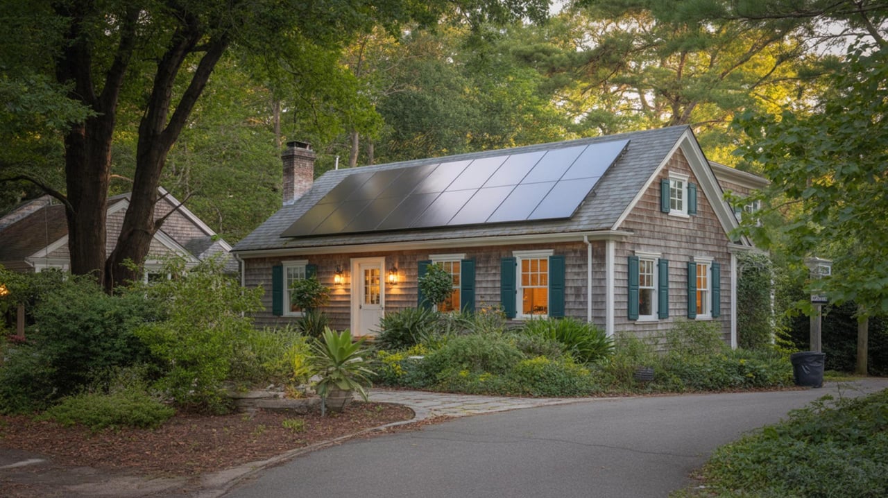
The Village core is compact, walkable, and convenient. You can grab a coffee, visit the Amagansett Free Library, and head to a music night at the Stephen Talkhouse without getting in the car. The train stop and coach drop‑offs are close, so this pocket is the most transit‑connected. Shops and a handful of year‑round services make it easier to enjoy the Hamptons outside of summer.
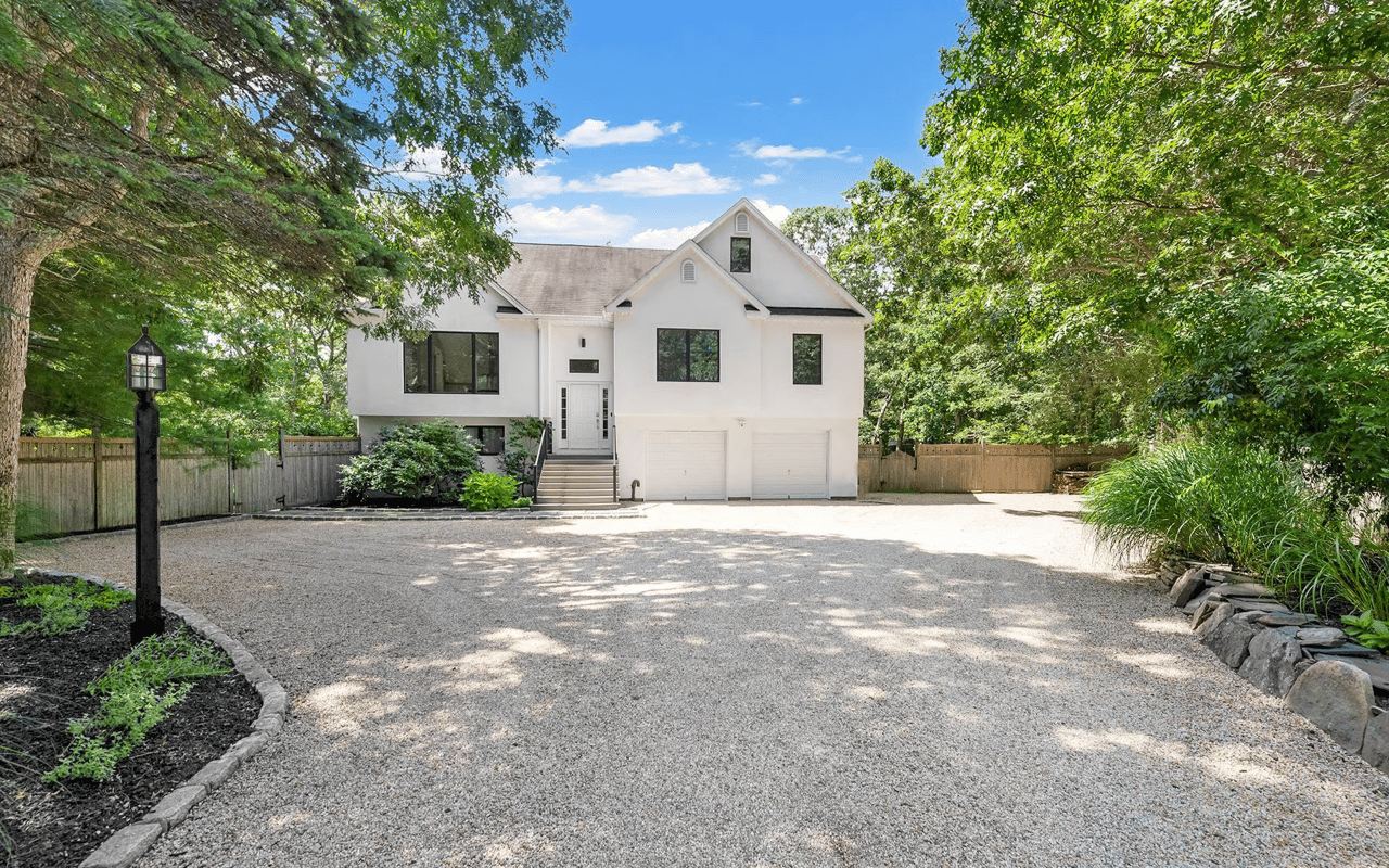
Housing and lots
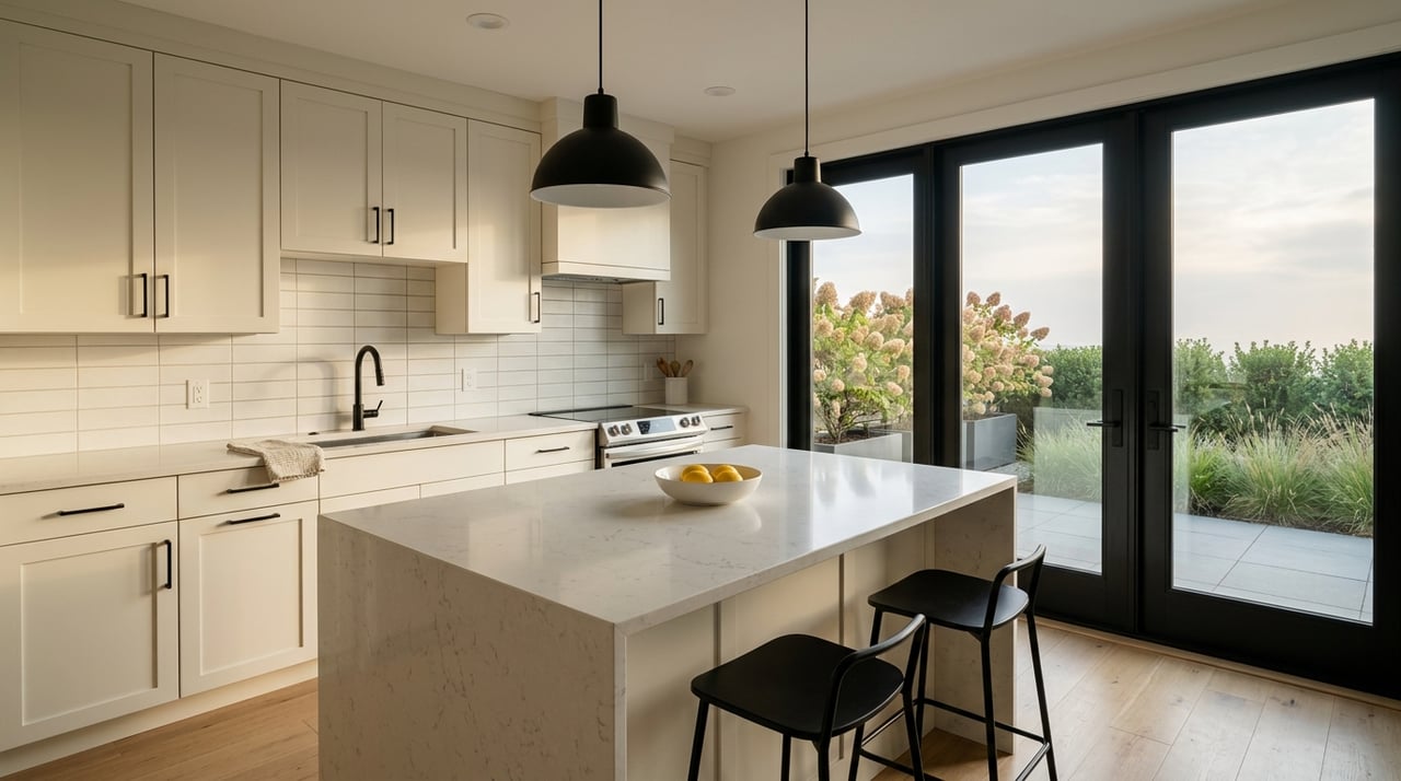
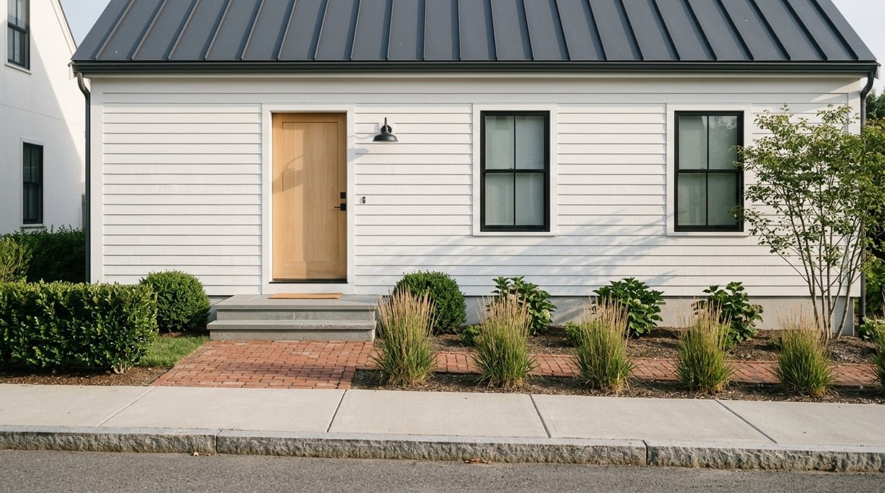
You will find older shingled houses, modest cottages, and renovated homes on smaller parcels near Main Street. Buyers focus on walkability and low‑maintenance living here. Many homes are updated with modern interiors while keeping traditional shingle character.
Best fit
Choose the Village if you want a simpler, year‑round routine, easy access to services, and a short hop to beaches. It works well for weekenders who value transit and for full‑timers who want an everyday neighborhood feel.
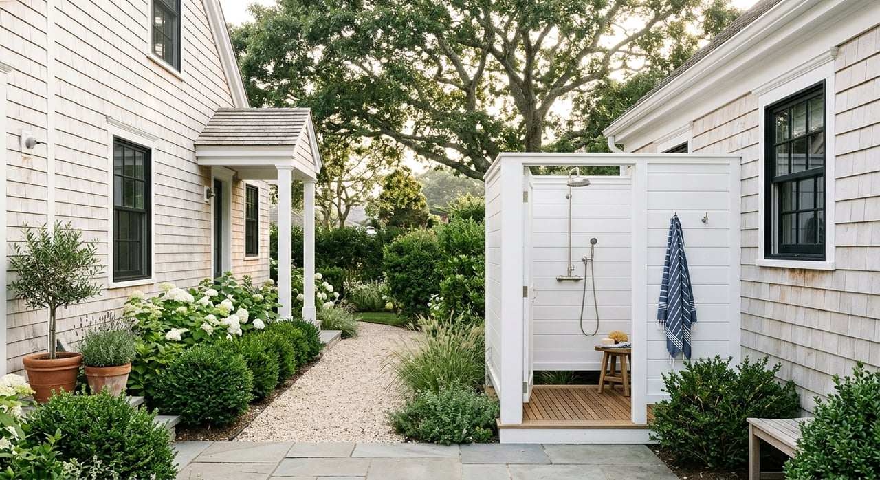
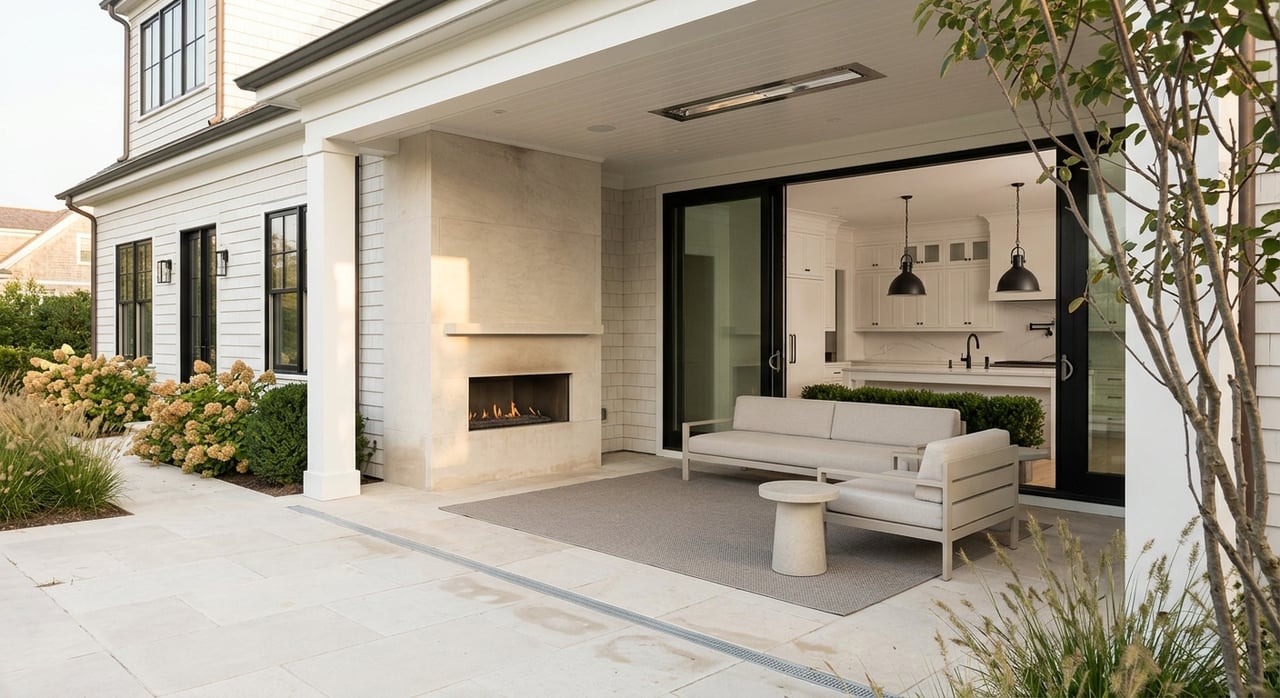
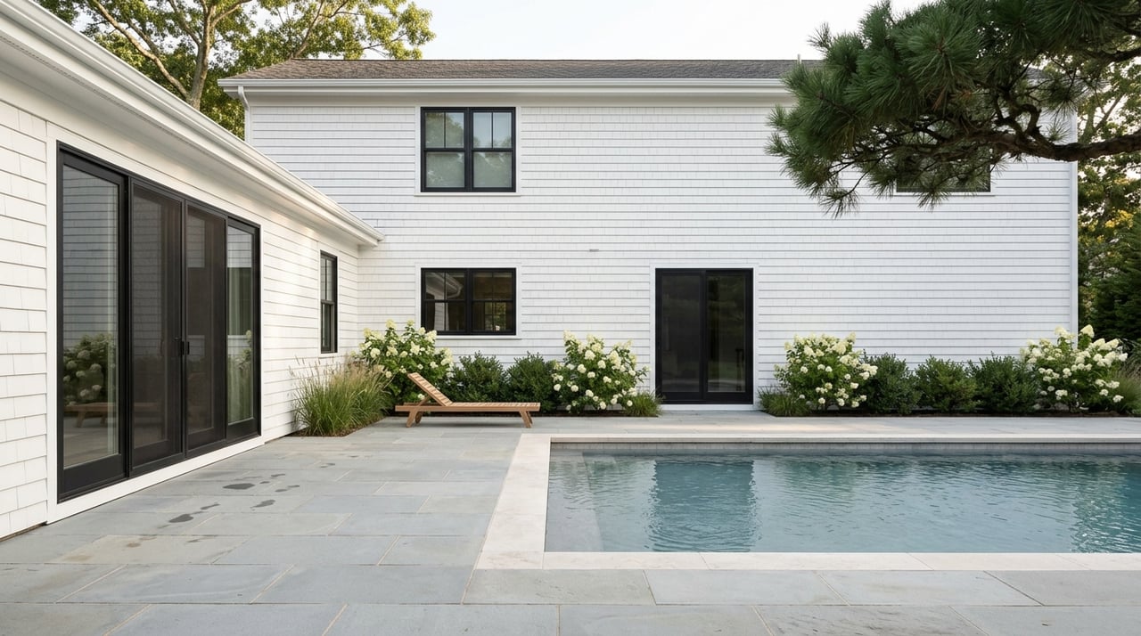
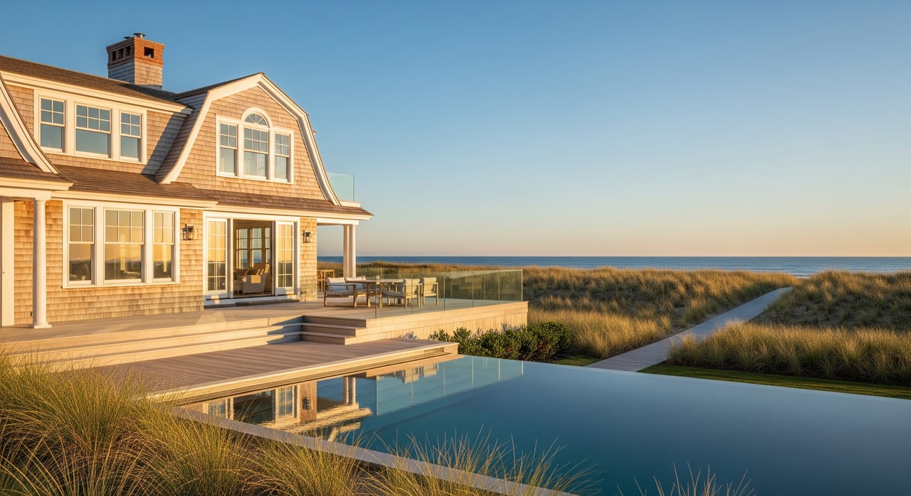
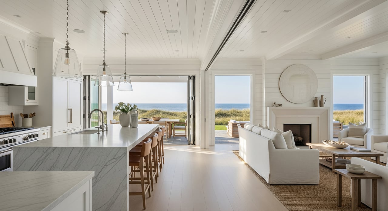
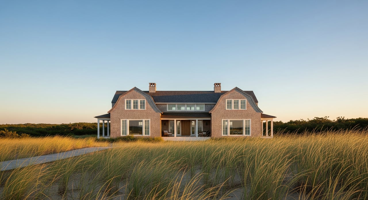
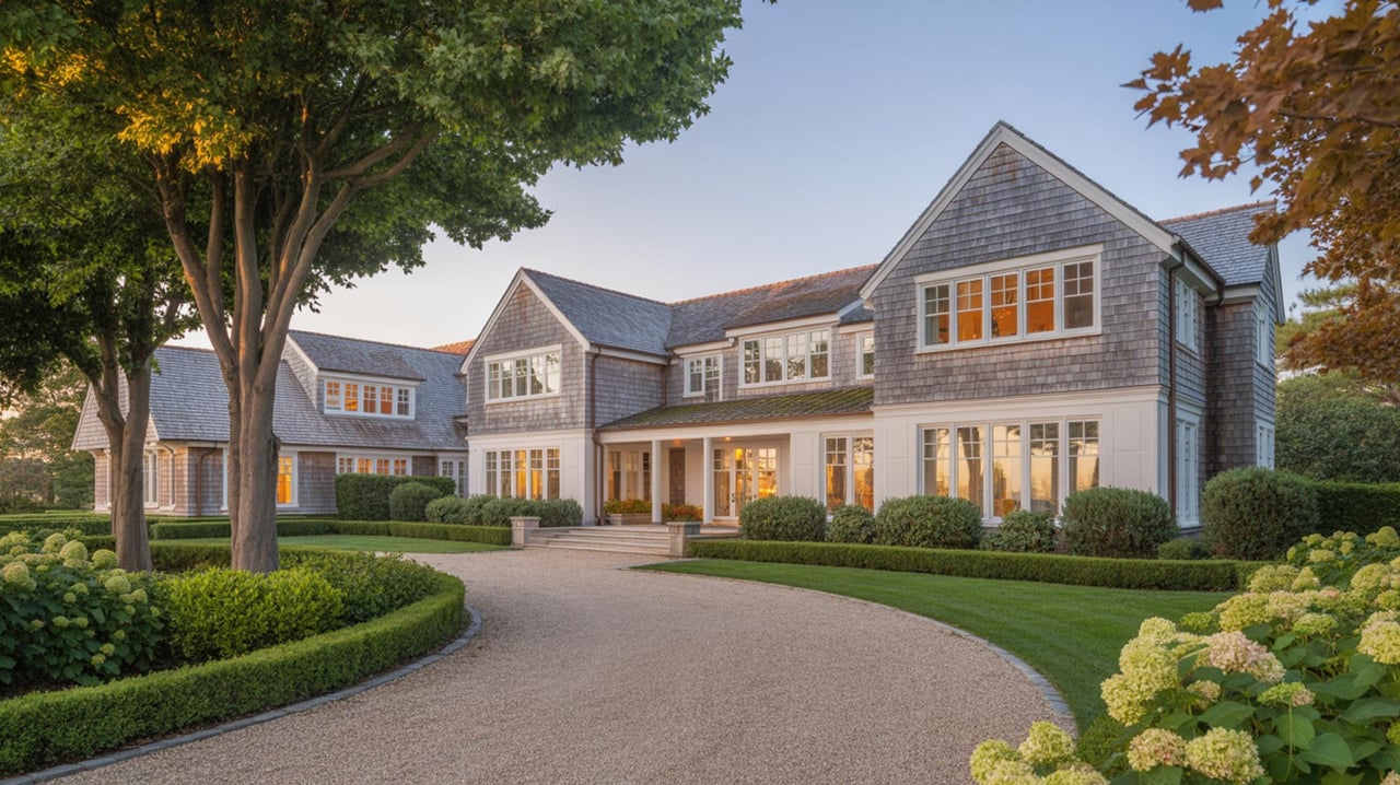
Ocean living: the Lanes
Daily rhythm and access
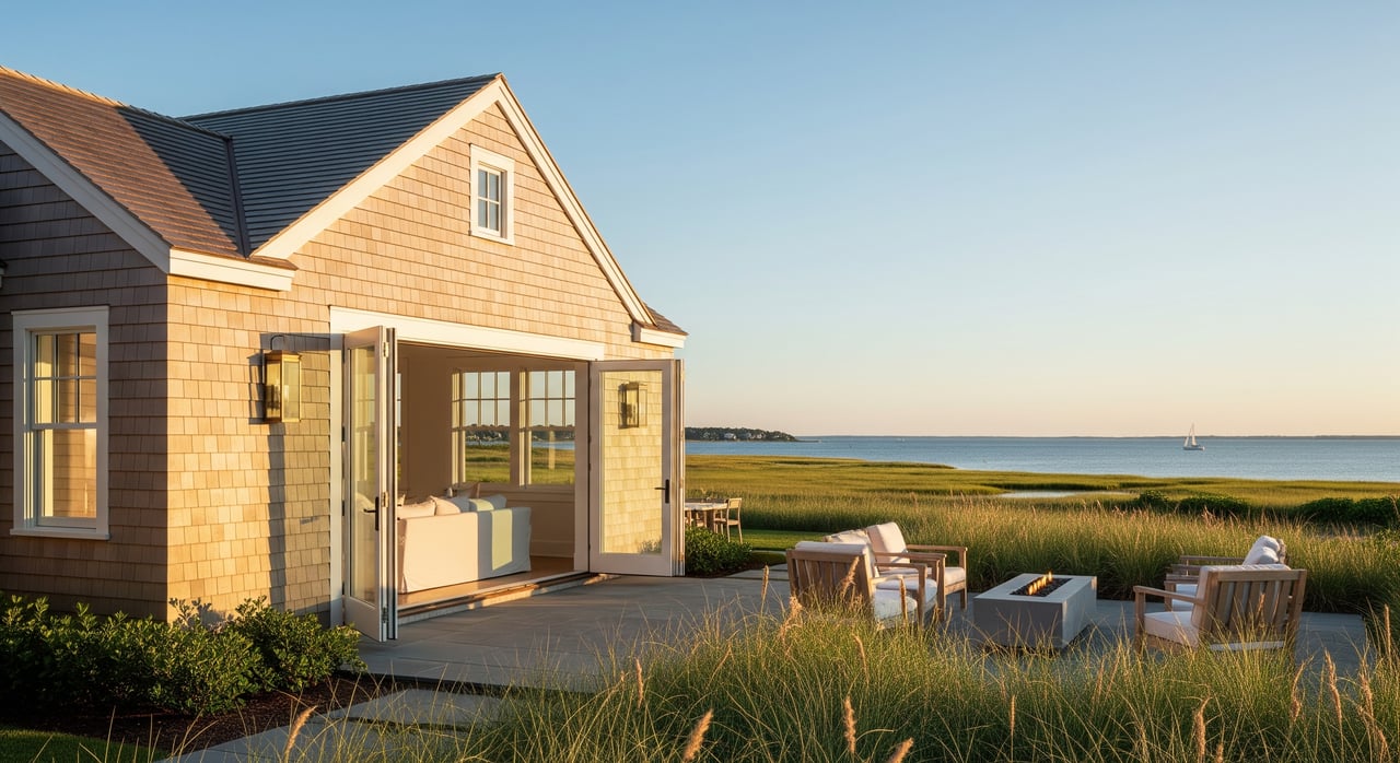
South of the Montauk Highway, a grid of narrow lanes runs to the ocean. Life here is shaped by the beach. Surf checks, sandy walks, outdoor dining, and the sound of waves define the day. Many homes are close to town beaches like Indian Wells and Atlantic Avenue. For current badge and parking rules, lifeguard scheduling, and locations, check the Town’s East Hampton Beaches page. For neighborhood character and history, local coverage captures how coveted and close‑to‑the‑sand this area is. Explore a useful profile of the Lanes via Behind The Hedges.
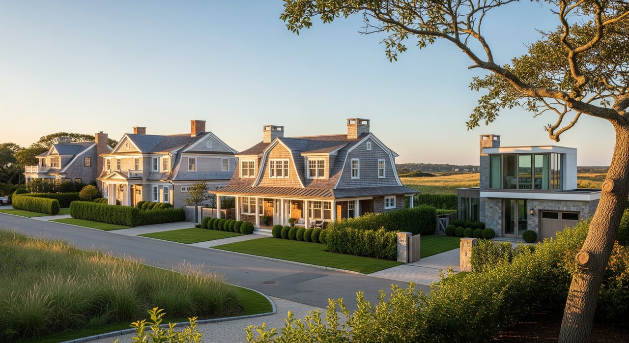
Housing and lots
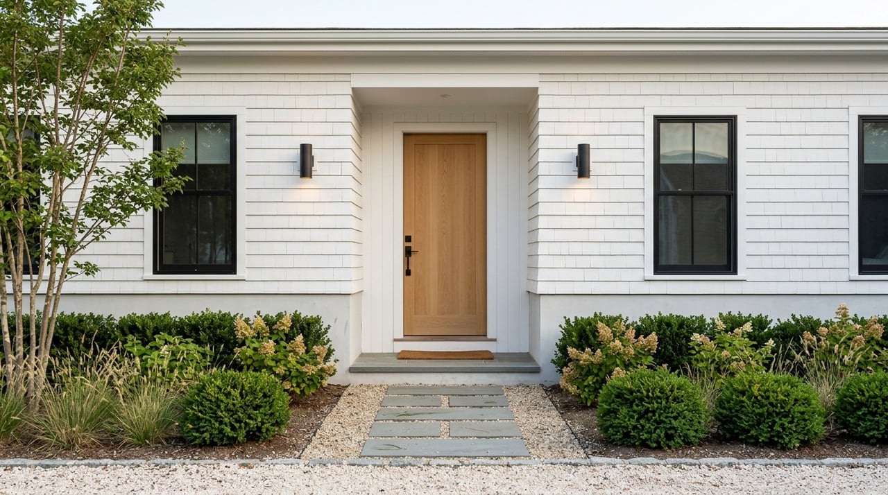
Small dune cottages and ranches on roughly half‑acre parcels have been rebuilt or expanded over the years. Today you see a mix of restored shingles and modern beach houses at multi‑million price points. Listings often highlight “south of the highway” proximity. Some mention deeded pathways or very short walks to the sand. Always verify access in the deed or with the Town.
Seasonal shifts and risk notes
Summer is active with beach traffic and guests. Off‑season is quiet, with a raw and beautiful coastal feel. Ocean parcels often sit in FEMA flood zones and can face wind, overwash, and surge during big storms. For insurance and underwriting, review parcel‑level designations through the FEMA Flood Map Service Center.
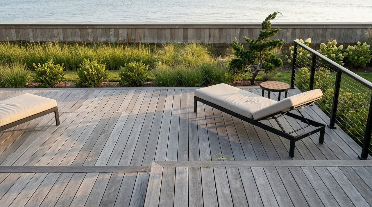
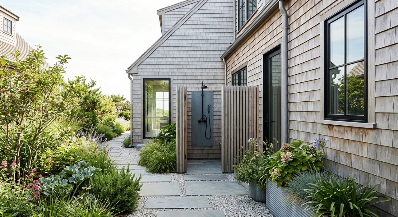
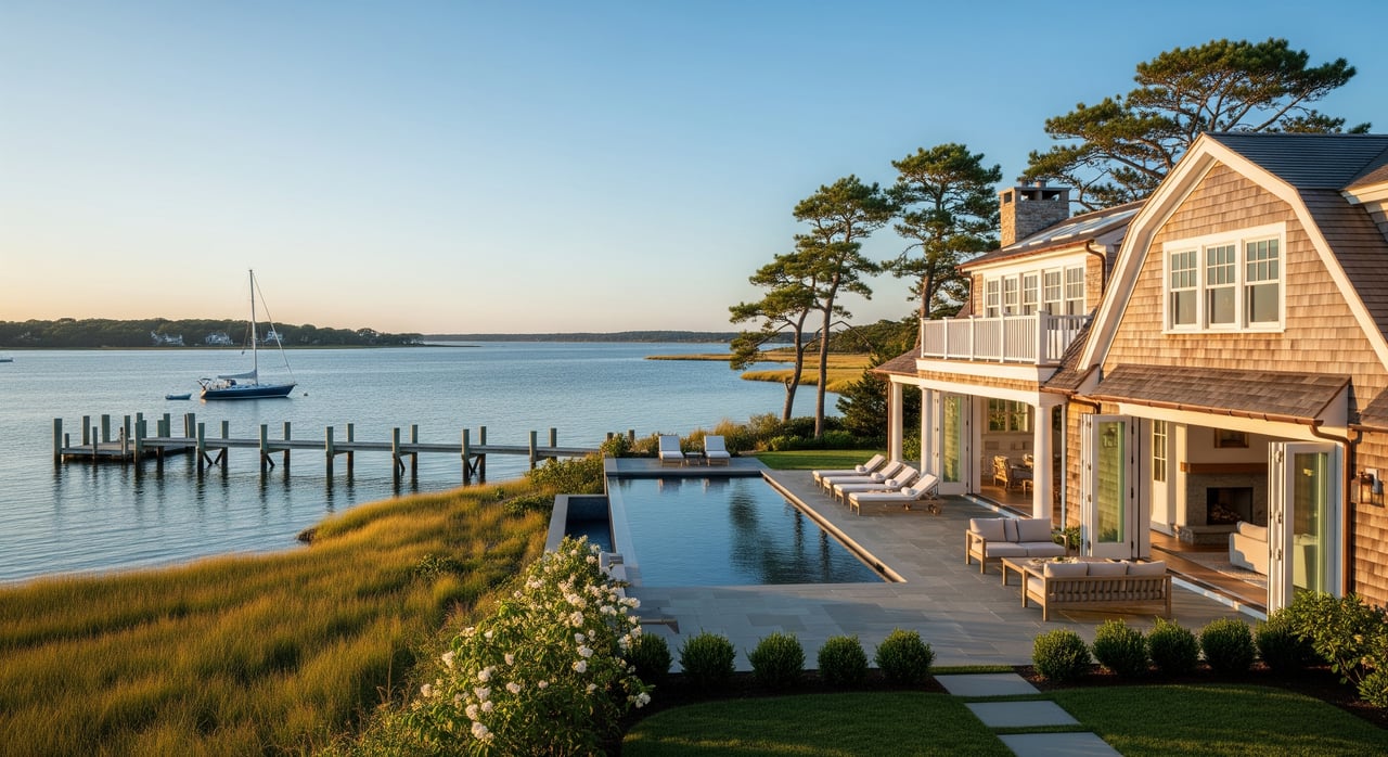
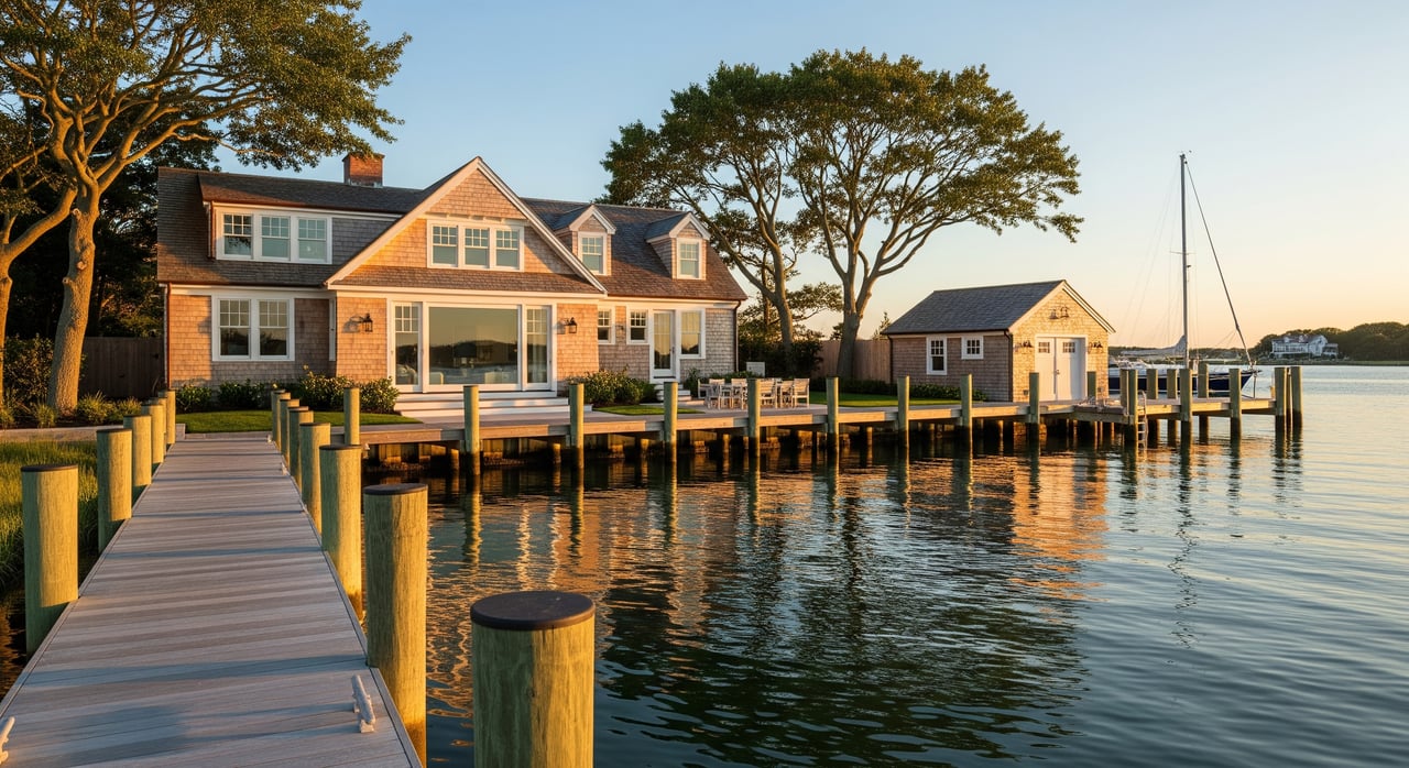
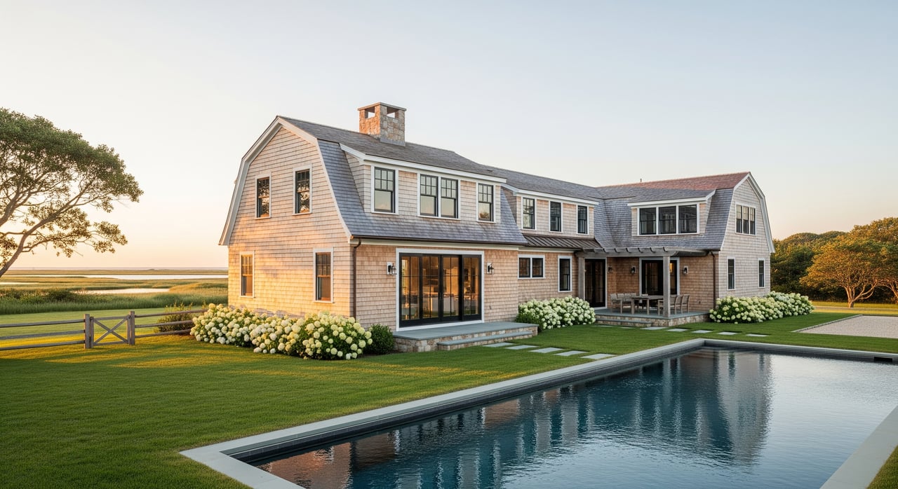
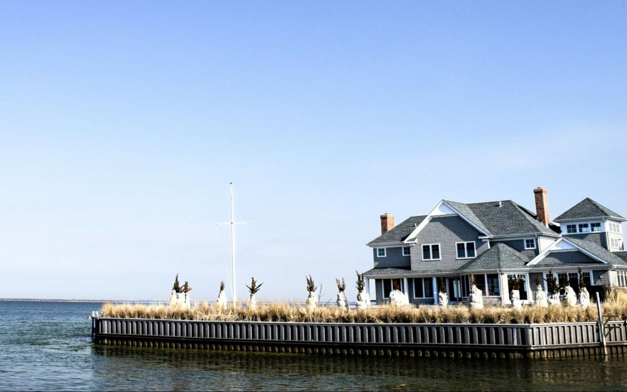
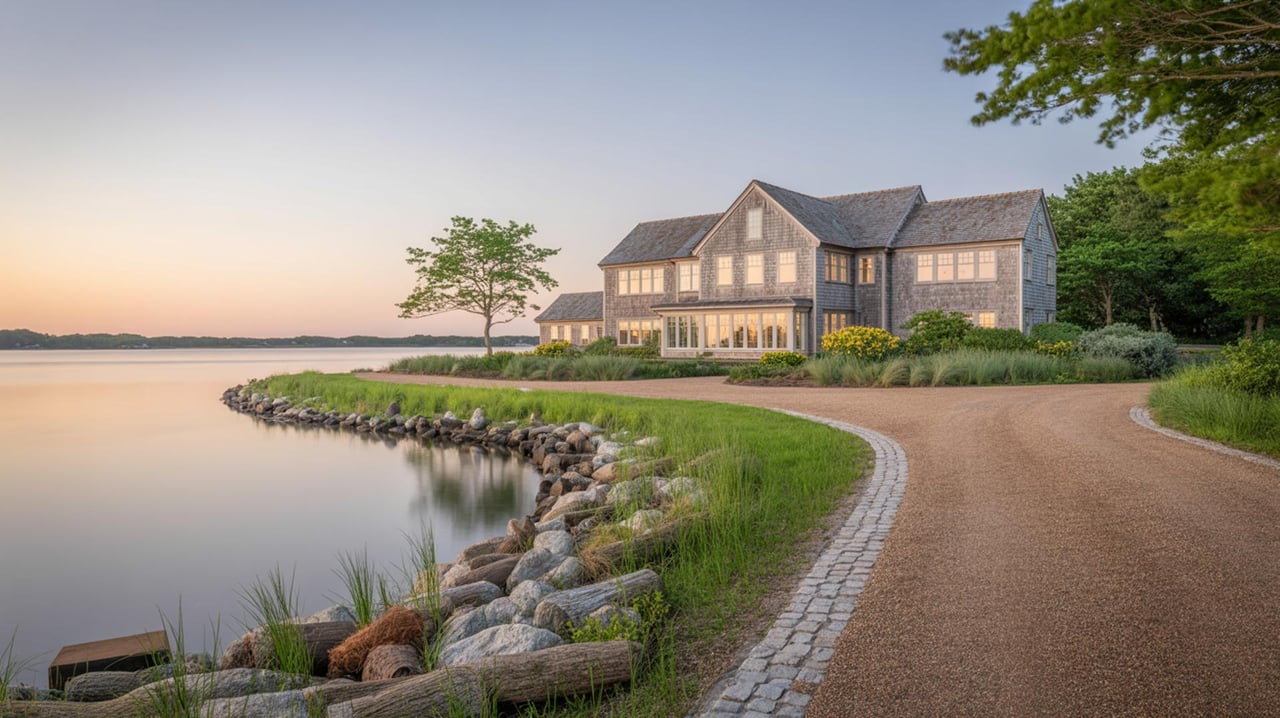
Bay and harbor pockets: north side
Daily rhythm and access
Bay areas fronting Gardiners Bay and the Maidstone to Accabonac corridor feel serene and maritime. Expect glassy morning paddles, small‑boat mooring, and family‑friendly swimming on calmer, shallower beaches. Marsh and shoreline habitats add a pastoral note. For local bay parks, beaches, and ecological context across this system, the Peconic Estuary Partnership’s guide is a helpful reference.
Housing and lots
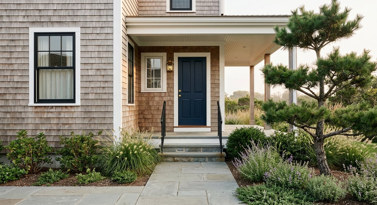
Bayfronts range from older cottages and converted boathouses to larger homes on deeper parcels north of the highway. Value on the bay side often turns on tidal depth, dock or mooring rights, and setbacks. Buyers also balance protected-water access with different seasonal uses compared to the ocean.
Best fit
Pick the bay if you prefer quiet water, boating and paddle sports, or a more sheltered coastline. It is a good match for relaxed, low‑surf days and a nature‑forward setting.
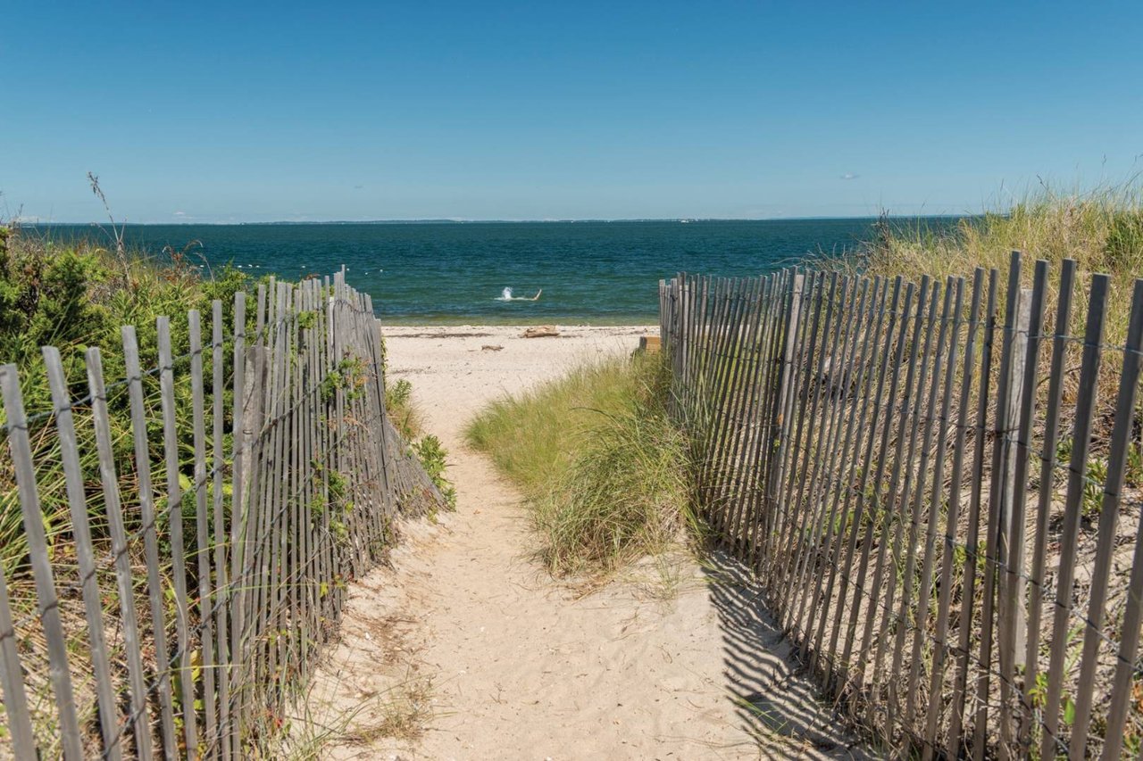
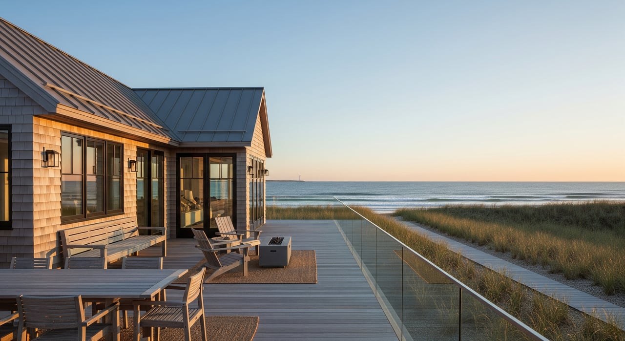
Napeague and the stretch
Daily rhythm and access
Napeague is a narrow, exposed isthmus that feels wild and remote. The landscape is low and sandy, with iconic walking dunes and long stretches of protected shoreline. Learn about the dune system and nearby park access via the Hither Hills State Park resource at New York State Parks. The Amagansett National Wildlife Refuge also protects sensitive habitats, including the double dune system and seasonal nesting areas. You can review those protections and access guidance through the U.S. Fish and Wildlife Service.
Housing and risk profile
Homes are sparser here. Some owners treat structures as seasonal or build with elevated and storm‑resilient designs. Conservation rules and seasonal bird protections can shape beach use. When considering parcels on the stretch, prioritize wind and flood elevation, local erosion history, and any conservation overlays. For planning scenarios and high‑tide inundation checks, the NOAA Sea Level Rise Viewer is a useful tool.
Best fit
Choose Napeague if you want privacy, sweeping dunes, and a remote feel. You trade convenience for wild beauty and accept more exposure to coastal weather.
How seasons change each pocket
- Peak season, from Memorial Day to Labor Day, brings longer hours at shops and restaurants and lifeguarded beaches. Traffic and parking pressure increase. You can confirm lifeguard schedules and pass details on the Town’s beaches page.
- Shoulder and off‑season, the Village keeps a year‑round heartbeat with the library, a few restaurants, and the Talkhouse’s calendar, while most streets quiet down.
- The Lanes are the most activity‑sensitive, with surf and sunshine setting the pace. Bay areas skew to boating and paddling. Napeague keeps its remote mood all year.
- Local culture signposts underscore the vibe. A decades‑old roadside seafood ritual at the Lobster Roll, known by many as “Lunch,” pairs with Village music nights to paint a full picture of daily life.
Market signals and what drives value
Amagansett sits in the upper‑end Hamptons market with quarter‑to‑quarter swings in sales volume and price tiers. Recent regional brokerage reporting shows meaningful movement across ocean, bay, and inland pockets. For a current snapshot and submarket context, view the East End analysis in Corcoran’s 2Q 2025 report.
Across micro‑neighborhoods, buyers tend to weigh these features:
- Oceanfront and south‑of‑the‑highway Lanes command the top premiums and strong rental demand, with higher insurance and coastal exposure.
- Near‑beach Lanes cottages on roughly half‑acre lots are prized for walkability and beach access, often with extensive renovations.
- Village core homes and condos trade on year‑round convenience, smaller yards, and transit ease.
- Bay and harbor properties value protected water access, dock or mooring potential, and a quieter shoreline.
Regulatory and cost drivers that matter when you compare addresses:
- Beach access and permits. Understand whether a listing offers deeded access or relies on Town beaches, and plan for badges, parking, and seasonal lifeguard schedules via the Town’s beaches resource.
- Flood and coastal risk. Many ocean and bay parcels fall within FEMA flood zones that affect insurance and lending. Start parcel checks at the FEMA Flood Map Service Center.
- Septic and water quality. Suffolk County and the East End encourage nitrogen‑reducing systems that can impact costs and timelines. Learn the basics of I/A OWTS and local incentives through this nitrogen‑reducing septic overview.
- Conservation overlays. State parklands and the Amagansett National Wildlife Refuge influence where and how you can build or use beaches, especially around dunes and seasonal protections.
- Short‑term rentals. The Town of East Hampton maintains a registration and enforcement framework that can change. Many listings show registration numbers. Confirm current rules and processes with the Town before you rely on rental income in your underwriting.
Quick comparison checklist
Use this to shortlist the right pocket for you:
- Proximity to the beach: verify “walking distance,” “deeded access,” or “Town beach” against the deed and Town guidance.
- Exposure and insurance: check FEMA flood zone, base flood elevation, and coastal wind history through the FEMA map center.
- Septic and water: identify onsite wastewater type and any upgrade obligations or grant eligibility using this local septic overview.
- Year‑round services and walkability: Village core offers the most daily convenience; the Lanes and bay pockets are residential with car‑based errands; Napeague is the most remote.
- Commuting and transit: review the LIRR Montauk Branch for schedules, especially summer express options.
- Conservation and beach use: note state park and wildlife refuge guidance, including seasonal protections at the Amagansett National Wildlife Refuge.
- Market signal: consult current East End submarket analysis, such as Corcoran’s 2Q 2025 report, when you compare ocean, Village, and bay tiers.
Which micro‑neighborhood fits you
- You want mornings on foot, an easy dinner routine, and a workable off‑season home. Choose the Village core near Main Street.
- You want surf checks, dune walks, and a true beach routine. Focus on the Lanes south of the highway, and confirm your beach access and flood profile early.
- You want calmer water and boating or paddling. Target bayfront or bay‑proximate homes on the north side.
- You want privacy and a protected landscape. Consider the Napeague stretch, but plan for heightened coastal and conservation considerations.
Next steps and local guidance
If you are weighing specific addresses, a parcel‑level review is the best way to move from browsing to clarity. That includes confirming beach access and permits, verifying flood and elevation data, scoping septic status and any upgrade paths, and aligning price and rental potential with current submarket data.
For a tailored plan that fits your goals, request a one‑on‑one consultation with Michael Petersohn. You will get a calm, data‑first review of neighborhoods, regulatory checkpoints, and current pricing so you can move forward with confidence.
FAQs
What is the practical difference between deeded and Town beach access in Amagansett?
- Deeded access is a private right recorded in the property chain. Town access relies on public beaches managed by East Hampton, which use badges, parking rules, and lifeguard schedules outlined on the Town beaches page.
How risky is flooding for ocean and bay homes in Amagansett?
- Many ocean and bay parcels sit in FEMA flood zones that affect building, insurance, and lending, so start with the FEMA map center and use the NOAA Sea Level Rise Viewer for planning scenarios.
What should Amagansett buyers know about septic systems and water quality rules?
- Suffolk County and local programs support nitrogen‑reducing systems that can change costs and timelines for improvements; review this nitrogen‑reducing septic overview and ask for current grant or upgrade details during due diligence.
How does transit from NYC to Amagansett work for weekenders?
- The LIRR’s Montauk Branch serves Amagansett station, with varying schedules and seasonal express options; check current service on the LIRR Montauk Branch, and note that private coaches also operate peak‑season routes.
Are short‑term rentals allowed in Amagansett and what is the process?
- The Town of East Hampton requires registration and enforces occupancy and tax rules for vacation rentals; verify the latest requirements with the Town before relying on rental income in your plan.
What drives value differences between bayfront and ocean‑area homes in Amagansett?
- Ocean proximity and south‑of‑the‑highway addresses command top premiums and rental demand, while bayfront value often turns on protected water access, tidal depth, and dock or mooring rights, all within current market trends shown in Corcoran’s 2Q 2025 report.