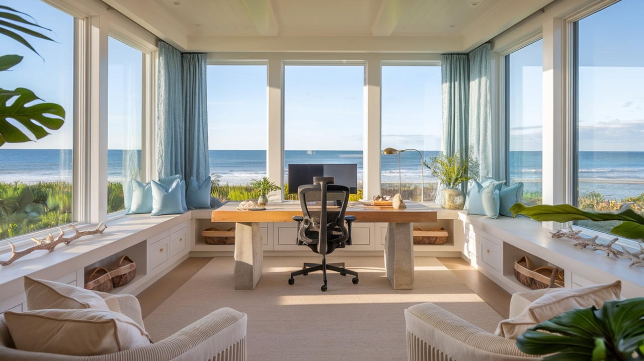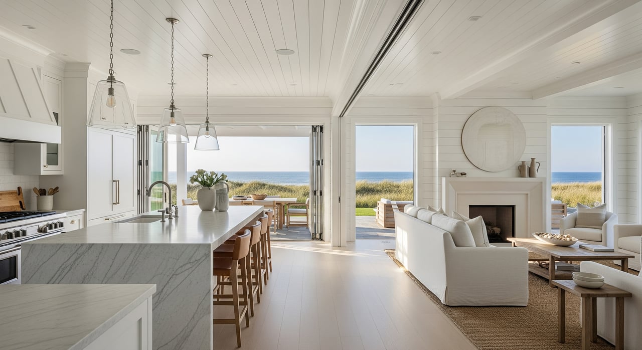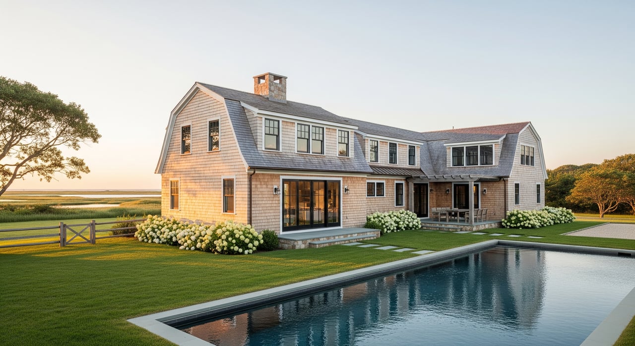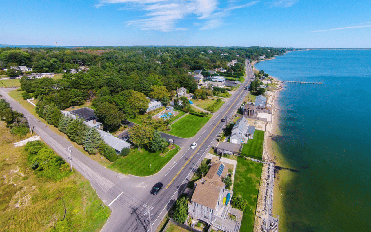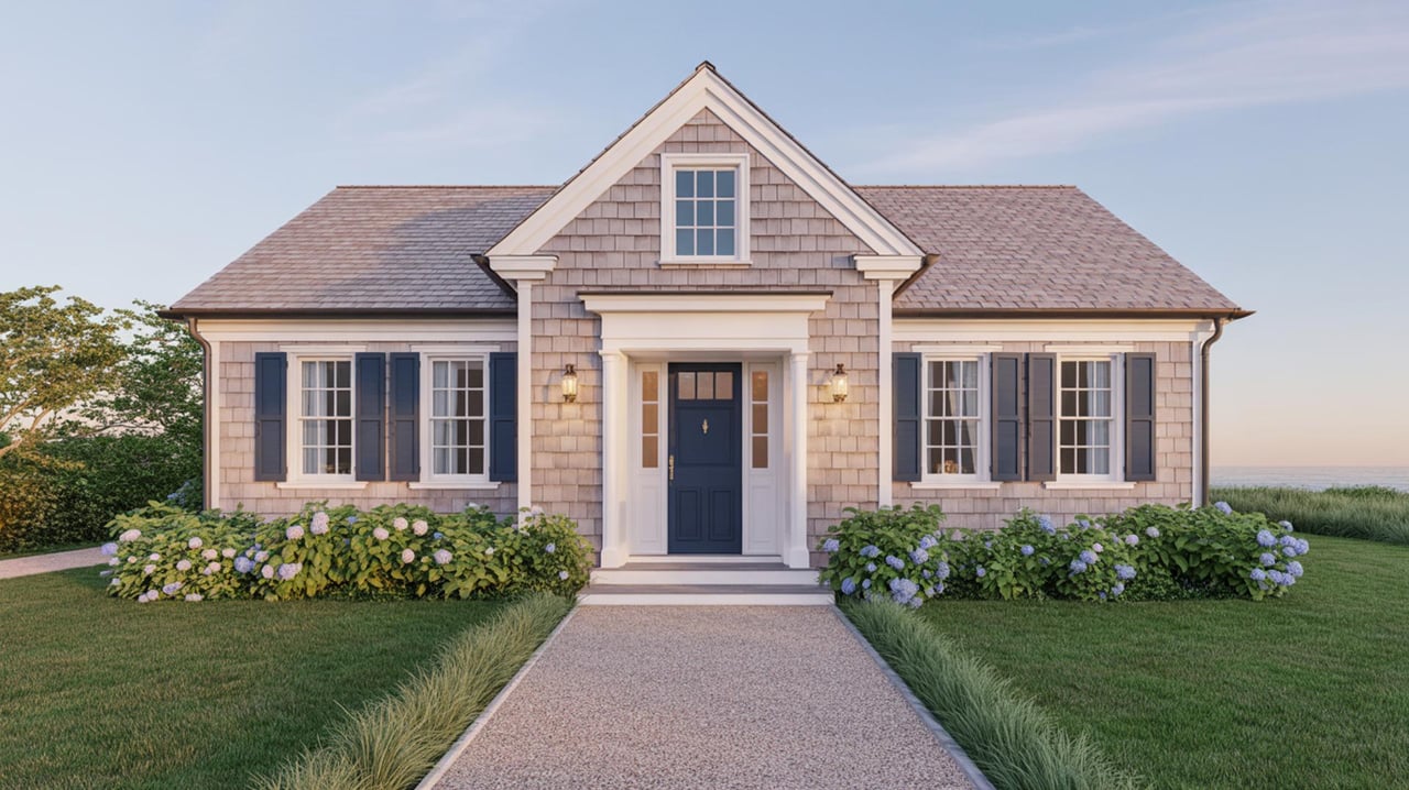
Buying or selling on the water in Sag Harbor can feel like learning a new language. Terms like riparian rights, mean high water, or bulkhead come up fast, and they matter to your value, use, and long-term risk. You want clarity before you move forward. This guide breaks down the essentials in plain English and shows you what to check locally so you can make confident decisions. Let’s dive in.
Core waterfront rights
Riparian vs. littoral rights
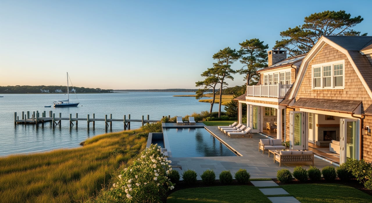
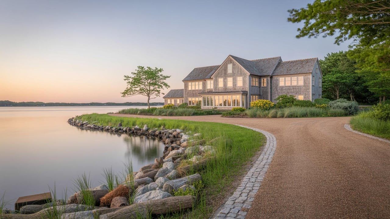
In Sag Harbor, you often hear people say “riparian rights” to describe an owner’s rights along tidal waters. These rights generally include reasonable access to the water, docking, and navigation, subject to law and permits. “Littoral rights” refers more to ocean and lake shorelines. In casual use the terms overlap, but the key idea is the same. You can use the water reasonably, but you do not control it outright and you must follow regulations that protect navigation and habitat.
Public trust basics
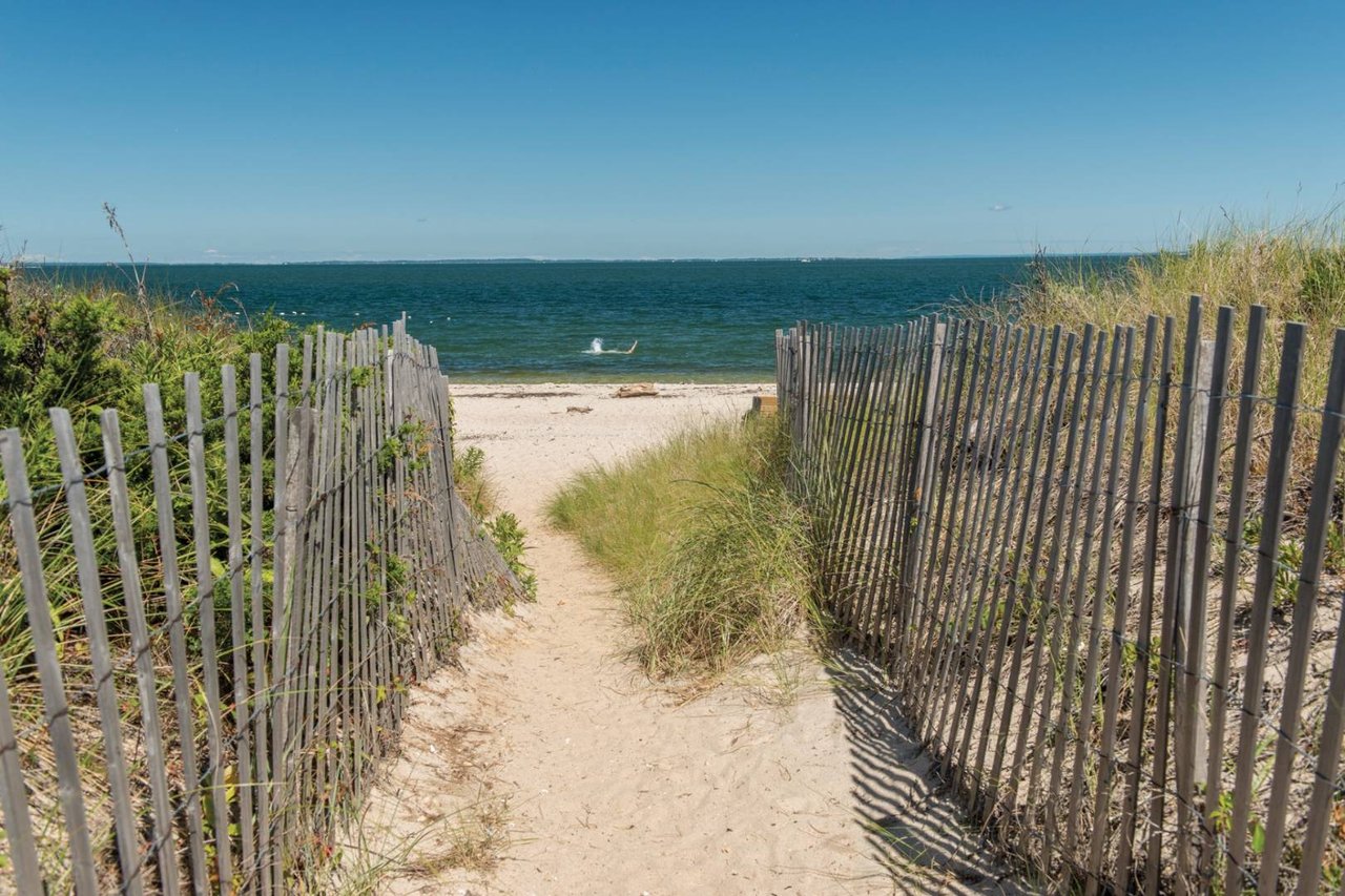
Navigable waters and the lands under them are typically held by the state in trust for the public. That means the water and seabed in front of your property are not privately owned. You may have use rights, such as placing a permitted dock, but you share the water with the public and mariners. Any exclusive use is narrow and usually tied to permits or specific deed language.
Mean high water and boundaries
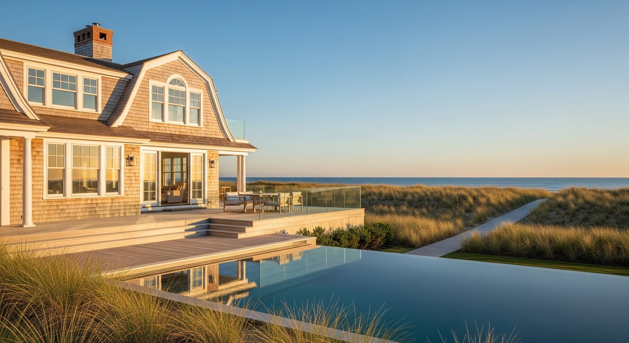
Mean High Water, or MHW, is a tidal benchmark used to mark where upland ownership commonly ends on coastal property. The MHW line can shift over time, and it is important in surveys and permits. Your deed and a current survey should show where the MHW line sits relative to your lot lines. Mean Low Water, or MLW, marks lower tidal levels and is often relevant to navigation depth and dock design.
How the shoreline moves
Accretion and reliction
Accretion is the slow buildup of land by natural sediment. Reliction is when water recedes and exposes land. Over time, these processes can add usable upland to your property. Title can adjust with gradual change, but every site is unique. A survey and title review will show how your boundary is treated.
Erosion and avulsion
Erosion is gradual loss of land. Avulsion is a sudden change, like after a strong storm. With avulsion, legal boundaries often remain where they were before the event, even if the shoreline shifted. These changes affect value, construction plans, and insurance. Always check how your surveyor marks past shoreline movement and ask your insurer how it impacts coverage.
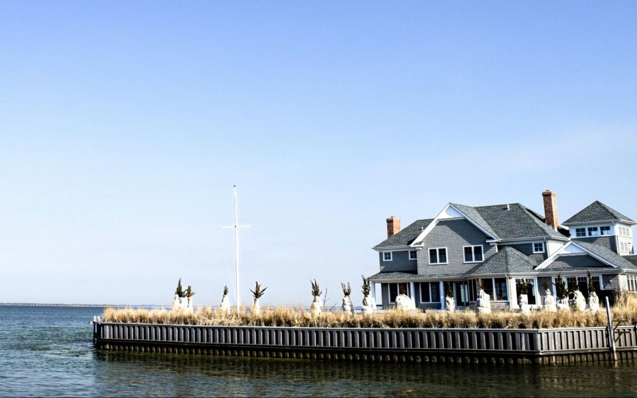
Structures you might own
Bulkheads and seawalls
Bulkheads and seawalls are vertical structures that hold back soil and protect the edge of your property. They give immediate protection and save space, but they can worsen erosion for neighboring areas and are expensive to repair or replace. You will likely need permits to install or rebuild them. Routine inspection is essential, especially after storms.
Revetments and living shorelines
A revetment uses stone or riprap on a slope to absorb wave energy. It can be less costly than a wall and somewhat friendlier to habitat, but it takes more space and can change the look of the shoreline. A living shoreline uses plants and natural materials to stabilize banks and improve habitat. Regulators often prefer living shorelines where site conditions allow. These solutions are site dependent and still require permits and maintenance.
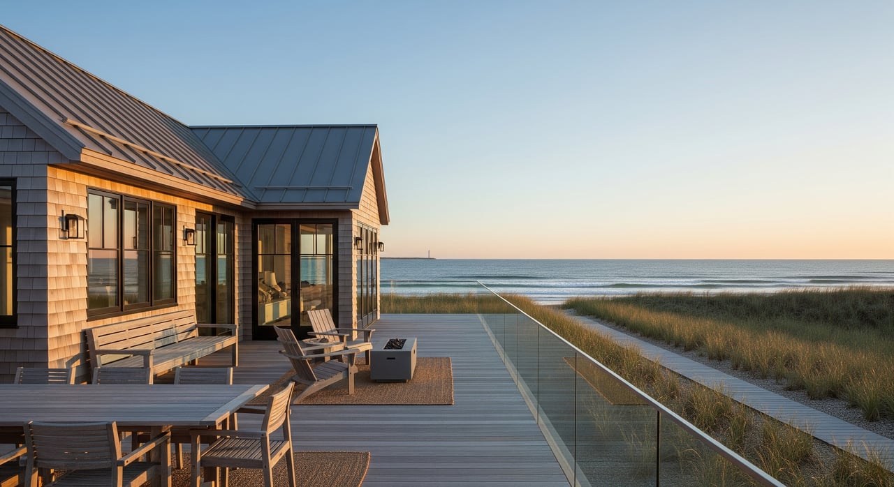
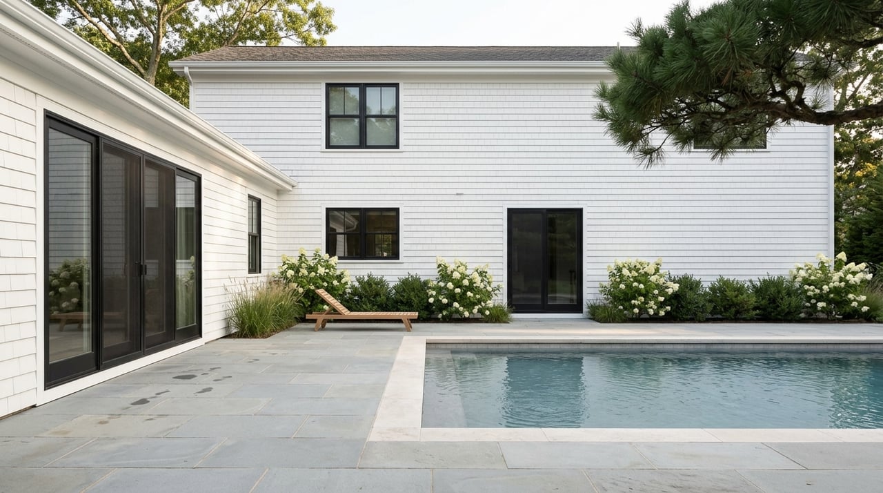
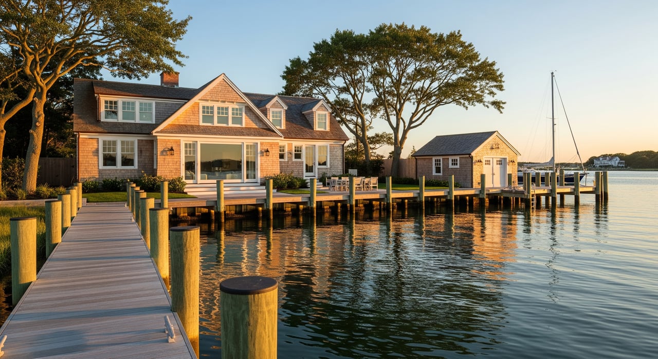
Docks, piers, and floats
Docks and piers provide boat access. Floats rise and fall with the tide and may be seasonal. Permits consider navigation, eelgrass shading, tidal wetlands, and channel access. Materials and pile work need regular upkeep. In northern climates, seasonal removal of floats is common to reduce winter damage.
Moorings and dredging
Moorings secure a vessel to an anchored buoy in deeper water. Local governments often regulate mooring locations, permits, and fees. Dredging is the removal of sediment to maintain depth for boats. It is highly regulated, requires multiple permits, and has ongoing costs. If your access depends on dredging, confirm who maintains the channel and who pays.
Permits in Sag Harbor
Federal roles
The U.S. Army Corps of Engineers reviews most work in navigable waters. Section 10 covers construction like docks and bulkheads. Section 404 covers dredge and fill. The U.S. Coast Guard and NOAA may be involved in issues that affect navigation or protected resources. Federal review often works in parallel with state and local approvals.
New York State permits
The New York State Department of Environmental Conservation oversees tidal wetlands, water quality, and coastal permits. The New York State Department of State manages Coastal Zone Management and consistency review for certain projects. The state typically holds rights in submerged lands below navigable waters, which affects where and how structures can be placed.
County and village rules
Suffolk County agencies regulate moorings in some waters, shellfish and habitat protection, and septic and wastewater systems. At the local level, Sag Harbor Village has its own building and zoning rules. Because Sag Harbor sits within the larger towns, you should confirm whether the property lies within Village limits and which town offices may also apply. Local code often sets setbacks, lot coverage, and construction standards for shoreline work.
Flood zones and insurance
FEMA Flood Insurance Rate Maps identify flood zones like AE, VE, A, or X and assign Base Flood Elevations. Local ordinances usually adopt these maps and can add stricter elevation or floodproofing rules. Your insurance costs depend on your zone, the elevation of the structure, and endorsements. Ask for an elevation certificate and review premiums before you buy.
Sag Harbor environmental notes
Tidal wetlands and buffers
Tidal wetlands, such as marshes and mudflats, provide habitat and improve water quality. These areas carry strict protections and buffer requirements. Any work near them, including docks or shoreline stabilization, faces added scrutiny and conditions.
Eelgrass and shellfish
Eelgrass beds and shellfish areas are sensitive resources. Their presence can limit construction or require redesign to reduce shading and disturbance. Expect permit conditions like seasonal timing restrictions or mitigation if these habitats are nearby.
Septic systems and nitrogen
Water quality programs across Suffolk County target nitrogen reduction to protect estuaries. If you plan to renovate or expand, you may need to upgrade your septic system. Ask about current system type and age, and whether local or county programs apply to your address.
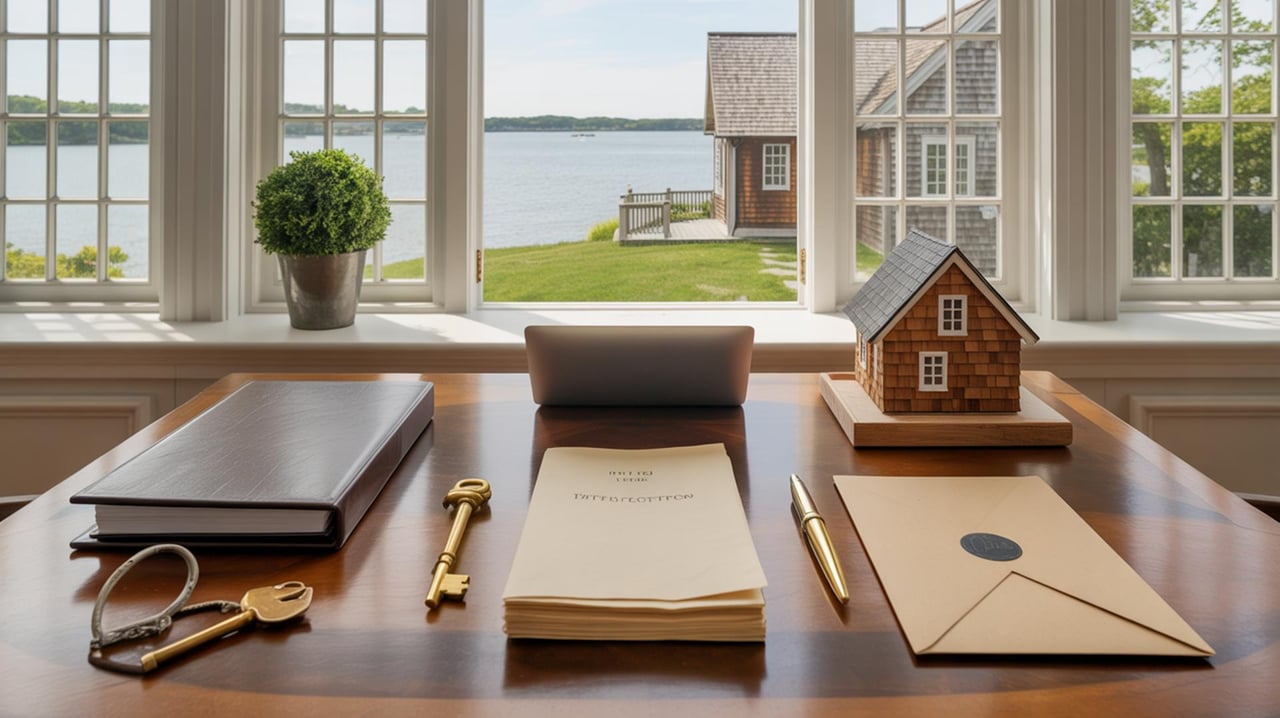
Buyer due diligence checklist
- Title and deed review
- Look for any express riparian rights, recorded dock or mooring rights, easements, or restrictions. Use a real estate attorney who knows waterfront.
- Survey and boundary verification
- Obtain a recent survey that shows the Mean High Water line, any structures, and how they relate to lot lines. Confirm tidal datum used.
- Permits and as-builts
- Request copies of permits and as-built drawings for any bulkhead, dock, revetment, or similar structure. Verify that permit conditions were closed out.
- Flood zone and insurance
- Check your FEMA zone and Base Flood Elevation. Ask for an elevation certificate if available and get premium estimates, including wind coverage.
- Environmental constraints
- Identify tidal wetlands, eelgrass, or shellfish beds near the property. Understand how they affect future work and maintenance.
- Septic and wastewater
- Confirm system type, condition, and any required upgrades tied to renovations or expansions.
- Shoreline condition
- Inspect for undercutting, corrosion, or settlement at bulkheads. Review historical imagery for erosion patterns.
- Access, dredging, and navigation
- If access depends on a dredged channel or shared dock, confirm maintenance history, responsibility, and costs.
- Future improvements
- Assess the permit path for your goals, such as a new dock, bulkhead replacement, or a living shoreline. Ask about federal, state, county, and village timelines.
- Local rules and covenants
- Confirm village and town regulations, any HOA rules, and harbormaster requirements for docks, moorings, or vessel use.
Seller preparation checklist
- Gather core documents
- Deed, title report, surveys showing MHW, and any recorded riparian rights or easements.
- Compile permits and plans
- Provide permits, approvals, and as-built drawings for docks, bulkheads, revetments, or dredging. Buyers will ask.
- Show compliance
- Include proof of permit closeout, maintenance records, and any required monitoring or mitigation reports.
- Flood and insurance info
- Share elevation certificates, flood zone details, and current insurance policies to reduce buyer uncertainty.
- Septic details
- Document system type, age, service logs, and any upgrades or approvals.
- Honest condition snapshot
- Note any settlement, rot, or corrosion in waterfront structures. Transparency builds trust and speeds due diligence.
Common scenarios, explained
Replacing a failing bulkhead
You notice gaps behind your bulkhead and sinking soil. Replacement will likely need local, state, and federal permits. Regulators may ask you to consider a revetment or a hybrid approach. Start with a coastal engineer and gather past permits. Expect review of tidal wetlands, navigation, and construction methods.
Adding a private dock
A new dock sounds simple, but approvals look at water depth, proximity to channels, eelgrass shading, and public navigation. Even with deeded rights, you still need permits. If the site is not suitable, consider a mooring or marina slip instead. Ask the harbormaster about local spacing and field capacity.
Boundary and access questions
After a storm, the shoreline shifts. Your legal boundary likely follows the pre-storm line if the change was sudden. A licensed surveyor can verify the MHW line and compare to past surveys. Your right to access the water remains subject to public trust and navigation rules.
Next steps
Waterfront rules are multi-layered and site specific. The best path is to line up your documents, confirm your boundary and rights, and speak with the proper agencies early. If you want a local, practical view of how these terms and rules affect value, resale, or rental potential in Sag Harbor, reach out for tailored guidance. Connect with Michael Petersohn to align your goals with a clear plan.
FAQs
Do Sag Harbor buyers own the water out front?
- No. The state typically holds navigable waters and submerged lands in public trust. You may have riparian use rights, like docking and access, but these are limited and permit dependent.
What is the Mean High Water line and why it matters?
- The MHW line is a tidal benchmark that often marks where upland ownership ends. It guides surveys, boundaries, and permits for docks and shoreline work.
Bulkhead vs. living shoreline, what is the difference?
- A bulkhead is a vertical wall that holds land in place. A living shoreline uses plants and natural materials to stabilize banks and support habitat. Regulators often prefer living shorelines where feasible.
Will insurance cover storm damage to my dock or seawall?
- Coverage depends on policy terms and endorsements. Routine erosion is usually excluded. Coastal storm and flood risks often require special coverage or separate flood insurance.
Can I build a new dock in Sag Harbor?
- Possibly, but you will need approvals from local, state, and often federal agencies. Suitability depends on tidal wetlands, eelgrass, navigation, and local zoning.
What document should I review first when buying waterfront?
- Start with the deed and a current title report for any riparian rights or restrictions, then obtain a recent survey that shows the MHW line and existing structures.